Sold Status
$80,000 Sold Price
Land Type
82 Acres
Sold By
Similar Properties for Sale
Request a Showing or More Info

Call: 802-863-1500
Mortgage Provider
Mortgage Calculator
$
$ Taxes
$ Principal & Interest
$
This calculation is based on a rough estimate. Every person's situation is different. Be sure to consult with a mortgage advisor on your specific needs.
Washington County
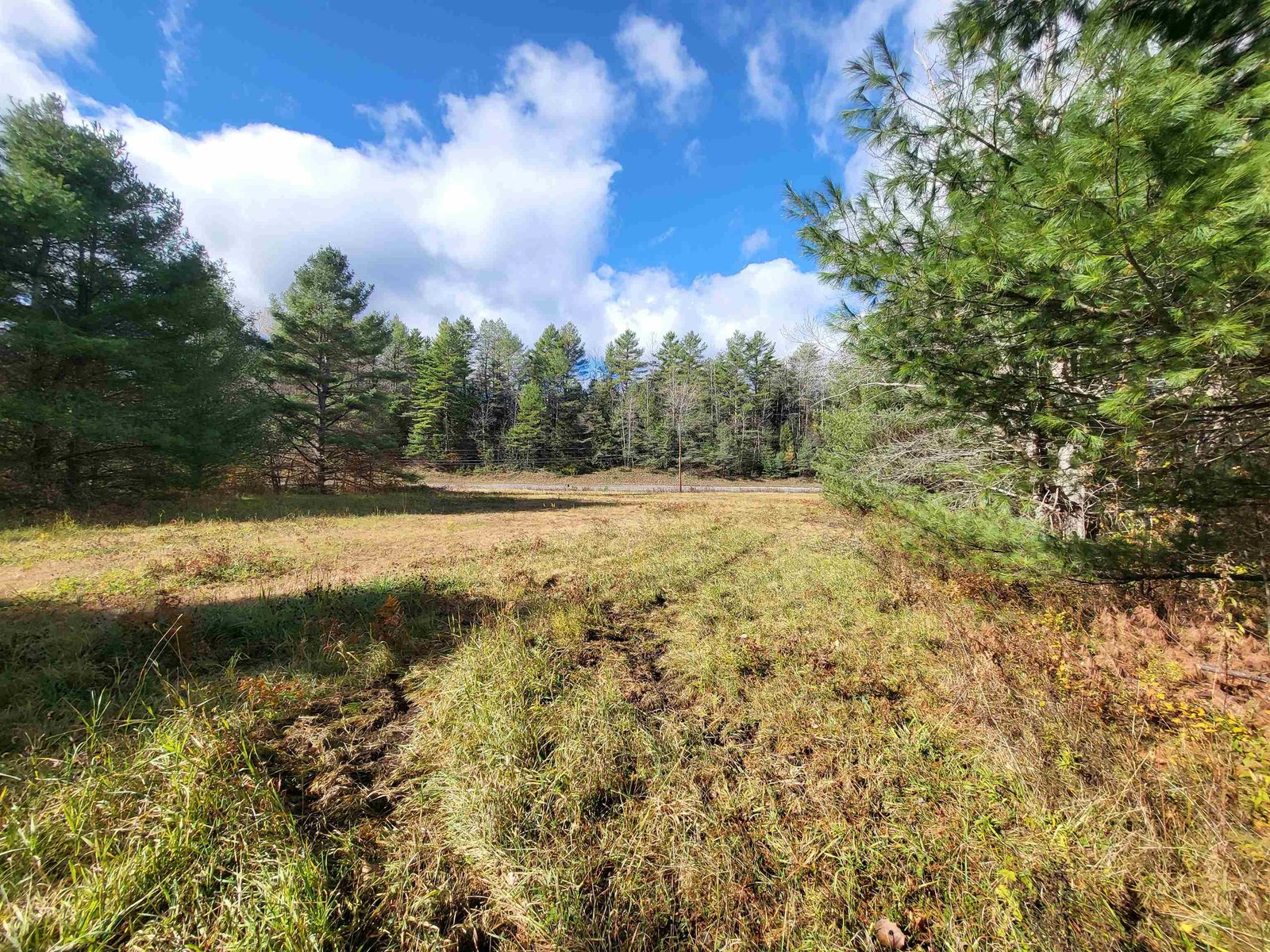
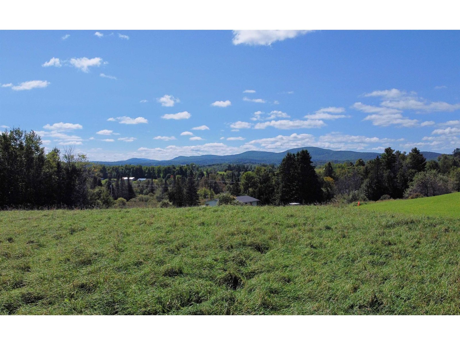
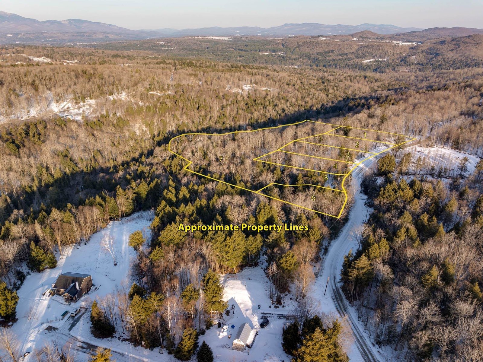
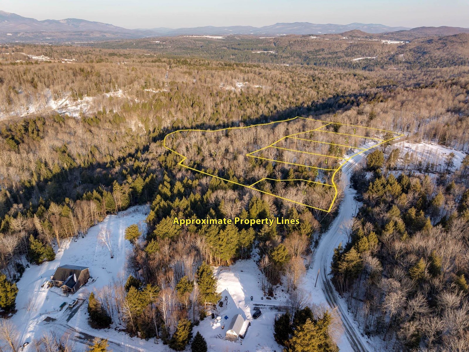
Abutting State Fish and Wildlife land is this 82+/- acre surveyed parcel with a nice view of Coit's Pond. Nice access road into the land just below the blue camp on left. Drive in and look to the right and you'll be looking down onto Coit's Pond. If you continue down the town road, you'll come to the State F&W access for the pond for nearby fishing, kayak and canoe access. Underground phone service, power nearby up the road. Private and accessible! †
Property Location
Property Details
| Sold Price $80,000 | Sold Date Apr 24th, 2013 |
|---|---|
| List Price $89,900 | Taxes $3,123 |
| Cooperation Fee Unknown | Tax Year 2012 |
| MLS# 4177609 | Exposure East, North, South, West |
| Type Land | Surveyed Yes |
| Zoning Land | Road Frontage 1213 Ft |
| Lot Size 82 Acres | Water Frontage |
| Easements | Water Body |
| List Date Aug 4th, 2012 |
| MLS# 4177609 | Taxes $3,123 |
|---|---|
| List Price 89,900 | Exposure East, North, South, West |
| Type Land | Surveyed Yes |
| Zoning Land | Road Frontage 1213 Ft |
| Lot Size 82.0000 Acres | Water Frontage |
| Easements | Water Body |
| List Date Aug 4th, 2012 |
| Amenities Near Paths, Near Snow Mobile Trails, Wooded Lot, Phone |
|---|
| Topography Abuts Conservation, Mountain View, Rolling, Secluded, Sloping, Open, Water View, Agricultural Prop, Wooded |
| Location Rural |
| Utilities Telephone-Available |
| Directions Route 215 to West Hill Pond Road. Straight through 4-corners, and continue straight at "T" with Houston Hill Road. Land on the left, not too far beyond the former Zutano building. Driveway on left, see sign, drive in. |
| Current Use Agriculture | Roads Public, Gravel |
|---|---|
| Sewer None | Roads Public, Gravel |
| Water None | Structure None |
| Electric None | Shore Rights |
| Gas None | Restrictions |

† The remarks published on this webpage originate from Listed By of via the PrimeMLS IDX Program and do not represent the views and opinions of Coldwell Banker Hickok & Boardman. Coldwell Banker Hickok & Boardman cannot be held responsible for possible violations of copyright resulting from the posting of any data from the PrimeMLS IDX Program.

 Back to Search Results