Sold Status
$88,500 Sold Price
Land Type
60 Acres
Sold By BHHS Vermont Realty Group/Morrisville-Stowe
Similar Properties for Sale
Request a Showing or More Info

Call: 802-863-1500
Mortgage Provider
Mortgage Calculator
$
$ Taxes
$ Principal & Interest
$
This calculation is based on a rough estimate. Every person's situation is different. Be sure to consult with a mortgage advisor on your specific needs.
Lamoille County
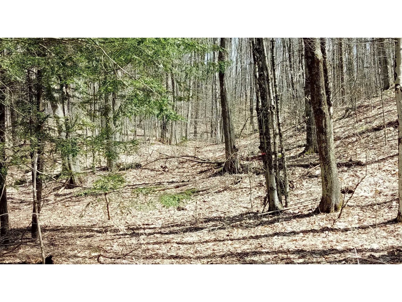
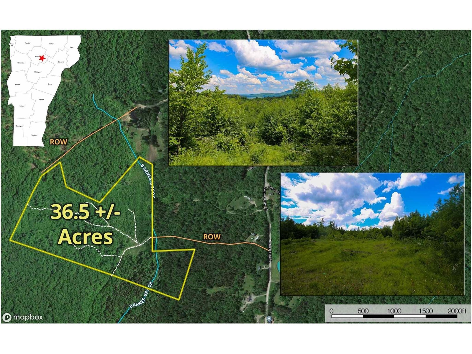
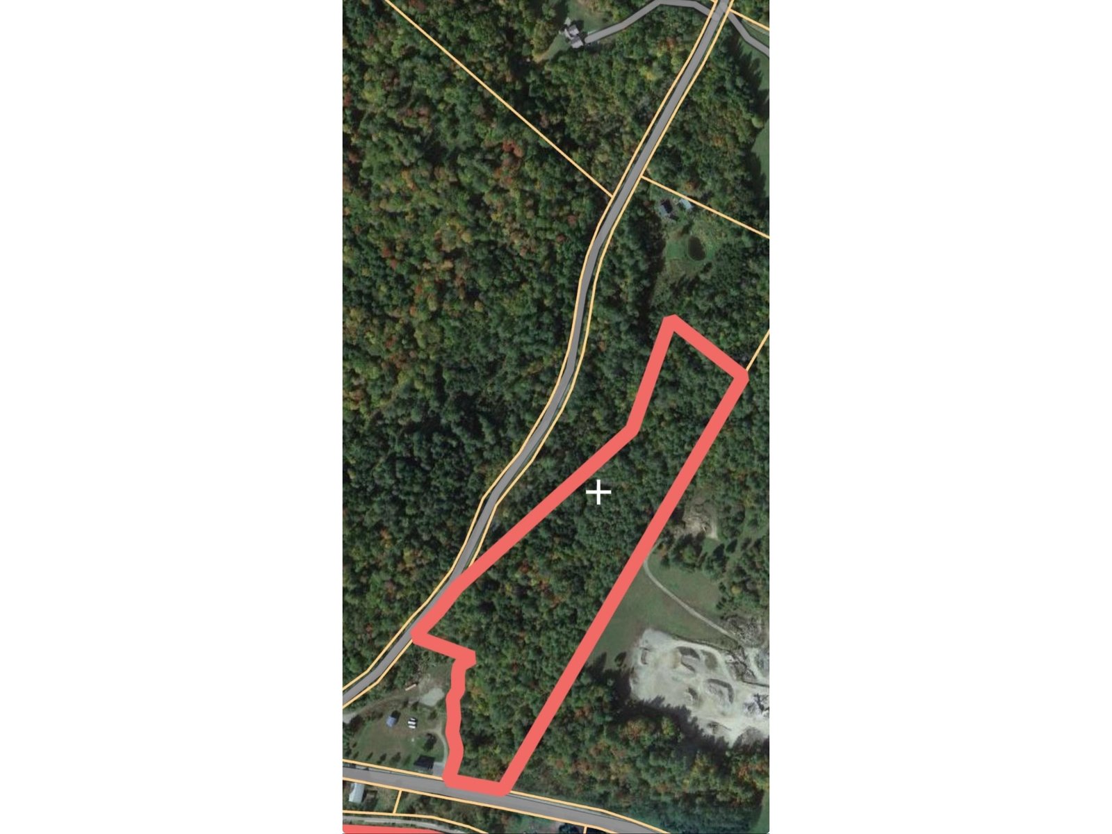
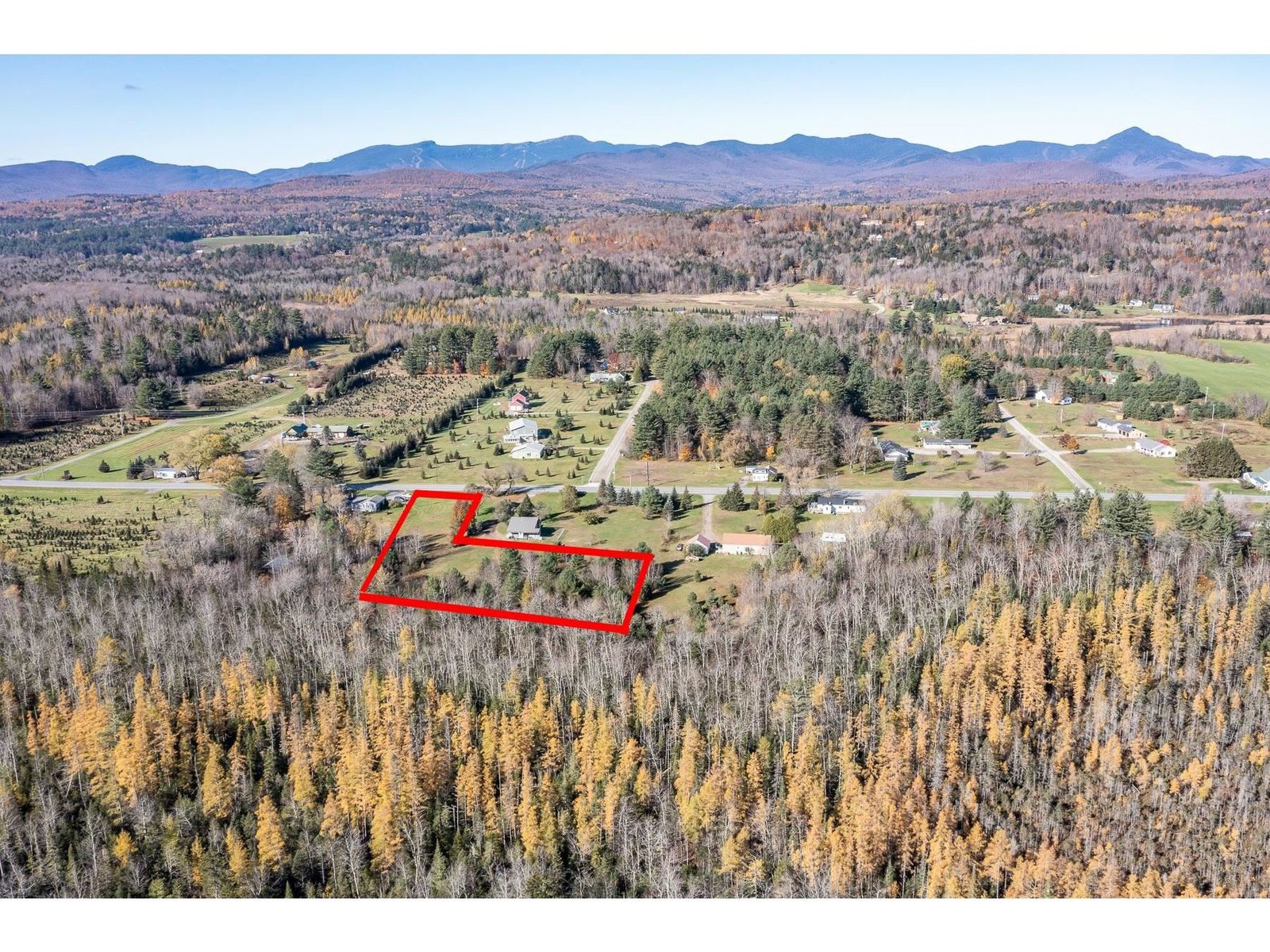
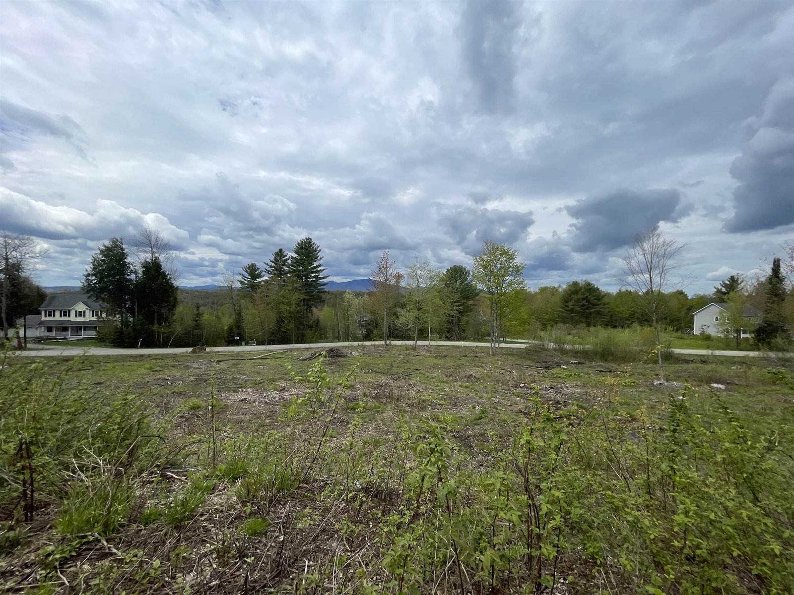
60.0 surveyed acres with an old apple orchard, White and Red Pine stands and mixed hardwood species. Two mostly open acres is set to hold your camp or future home based on the 1992+/- soil investigations. The balance of the land is in the VT. Current Use Program with the intent to improve the wildlife habitat, create recreational trails and grow future timber. The land slopes slightly to the north which offers privacy from the adjacent large lots. Lakeview Road merges into King Road at this land where one may seasonally travel towards Elmore village or towards the Elmore Pond Road. State Route 12 affords access to the nearby Lake Elmore and Elmore State Park as well as the amenities of the Morrisville/Stowe and Montpelier areas. †
Property Location
Property Details
| Sold Price $88,500 | Sold Date Jun 10th, 2021 |
|---|---|
| List Price $123,000 | Taxes $772 |
| Cooperation Fee Unknown | Tax Year 2020 |
| MLS# 4806655 | Exposure East, West, South |
| Type Land | Surveyed Yes |
| Zoning rural | Road Frontage 231 Ft |
| Lot Size 60 Acres | Water Frontage |
| Easements | Water Body |
| List Date May 20th, 2020 |
| MLS# 4806655 | Taxes $772 |
|---|---|
| List Price 123,000 | Exposure East, West, South |
| Type Land | Surveyed Yes |
| Zoning rural | Road Frontage 231 Ft |
| Lot Size 60.0000 Acres | Water Frontage |
| Easements | Water Body |
| List Date May 20th, 2020 |
| Amenities |
|---|
| Topography Open, Rolling, Subdivision, Pasture/Field, Secluded, Fields, Wooded, Agricultural Prop, View, Country Setting |
| Location Yes, Rural |
| Utilities |
| Directions from the Elmore Store on State Route 12, continue to Lakeview Road on your left above the cemetery, turn left and continue to the 'T'on your left, turn left and up the hill to the driveway onto this land on your left. You should be approx. 3,000 feet off of Route 12. |
| Current Use Agriculture, Recreational, Agriculture, Recreational | Roads Seasonal, Shared, Gravel, Dirt |
|---|---|
| Sewer None | Roads Seasonal, Shared, Gravel, Dirt |
| Water None | Structure |
| Electric None | Shore Rights |
| Gas | Restrictions Architecture, Mobile Homes, Further Subdivision, Easement/ROW |

† The remarks published on this webpage originate from Listed By Marcia Marble of Marble Realty, Inc. - Off: 802-888-3418 via the PrimeMLS IDX Program and do not represent the views and opinions of Coldwell Banker Hickok & Boardman. Coldwell Banker Hickok & Boardman cannot be held responsible for possible violations of copyright resulting from the posting of any data from the PrimeMLS IDX Program.

 Back to Search Results