Sold Status
$47,500 Sold Price
Land Type
20 Acres
Sold By
Similar Properties for Sale
Request a Showing or More Info

Call: 802-863-1500
Mortgage Provider
Mortgage Calculator
$
$ Taxes
$ Principal & Interest
$
This calculation is based on a rough estimate. Every person's situation is different. Be sure to consult with a mortgage advisor on your specific needs.
Washington County
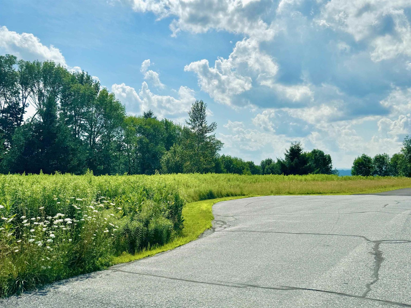
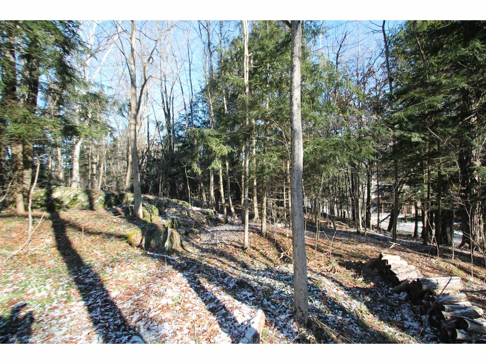
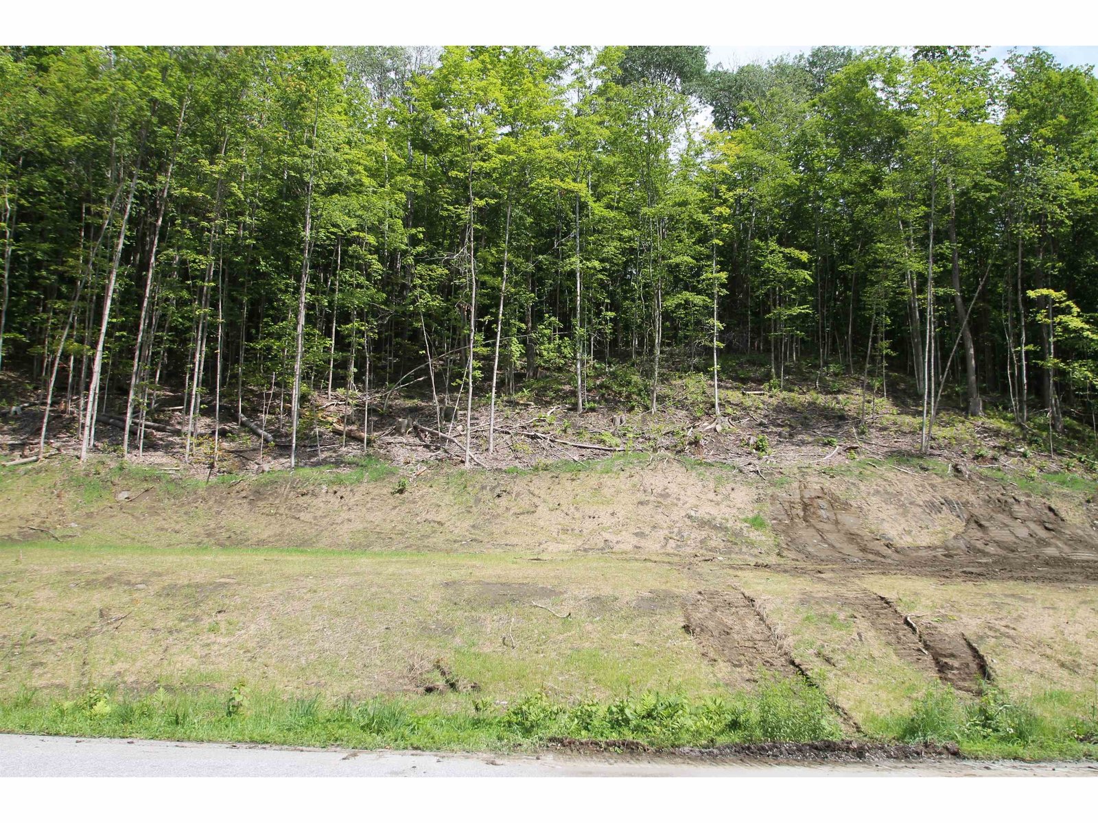
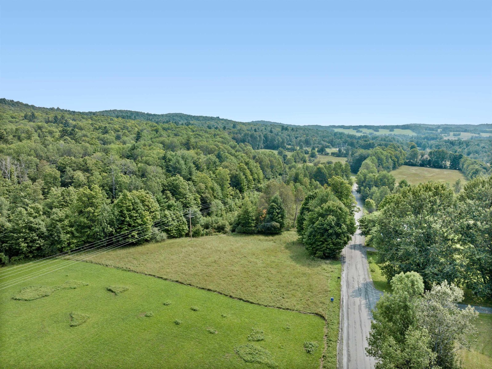
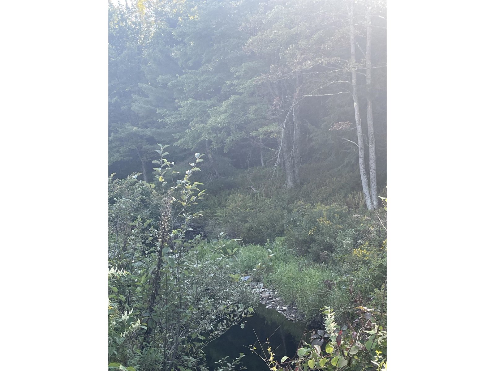
Peace and serenity at it's finest. No cars can be heard from here. Completely off-the-grid. This camp offers seclusion off a town trail. ATV access only or walk in. Located in the Preserve district of Moretown this property has the sole purpose to protect significant forest resources and water supply watersheds at higher elevations. Permissable uses include forestry, hunting, and agriculture. This 20x15 camp has a front sitting porch and one room living space with Vermont castings woodstove. Property is densely wooded with a brook running alongside. Established trails, waterfall in backyard. †
Property Location
Property Details
| Sold Price $47,500 | Sold Date Sep 24th, 2014 |
|---|---|
| List Price $62,000 | Taxes $930 |
| Cooperation Fee Unknown | Tax Year 2012 |
| MLS# 4181567 | Exposure North, South |
| Type Land | Surveyed Unknown |
| Zoning Preserve Dist. | Road Frontage 150 Ft |
| Lot Size 19.6 Acres | Water Frontage 200 |
| Easements | Water Body Serpentine Brook |
| List Date Aug 24th, 2012 |
| MLS# 4181567 | Taxes $930 |
|---|---|
| List Price 62,000 | Exposure North, South |
| Type Land | Surveyed Unknown |
| Zoning Preserve Dist. | Road Frontage 150 Ft |
| Lot Size 19.6000 Acres | Water Frontage 200 |
| Easements | Water Body Serpentine Brook |
| List Date Aug 24th, 2012 |
| Amenities VAST, Wooded Lot |
|---|
| Topography Preservation District, Rural Setting, Unpaved Roads, Water View, Rolling, Hilly, Trail/Near Trail, Secluded, River, Steep, Country Setting, Sloping, Waterfall, River Frontage |
| Location Rural, River |
| Utilities |
| Directions -From State St. Montpelier, west on RTE. 2 1.6 miles. Turn left after Dairy Creme onto Graves St/Three Mile Bridge Road. Cross bridge and take right on River Rd. Take 1st left on Jones Brook Rd. Then 2.1 miles to right on Herring Brook Rd. Go .9 miles to marked pull off and see concrete block marker |
| Current Use | Roads Unpaved, Other |
|---|---|
| Sewer None | Roads Unpaved, Other |
| Water None | Structure Camp |
| Electric None | Shore Rights |
| Gas None | Restrictions Land Gain, Conservation District |

† The remarks published on this webpage originate from Listed By Tina Golon of BHHS Vermont Realty Group/Waterbury via the PrimeMLS IDX Program and do not represent the views and opinions of Coldwell Banker Hickok & Boardman. Coldwell Banker Hickok & Boardman cannot be held responsible for possible violations of copyright resulting from the posting of any data from the PrimeMLS IDX Program.

 Back to Search Results